| My pages about France |

Capo di Muro
For now this page will be a sort of photo collage, but hopefully some day soon I will have some time to write a bit more in depth about my visit to Capo du Muro.
All the photos in the collage below are clickable, so you can view the larger photo.
Capo di Muro, a gorgeous coastal hike
Corsica
From Ajaccio drive to Porticcio and then follow the D55 and then the D155 towards Propriano . Shortly after Acqua Doria, a road branches off to the right in the direction of Capu di Muru. After 2.5 km keep to the right. The road ends a little later and you park at the edge.
We have an app on our phone that records our walks, which is quite fun (the App is called Komoot). The map on the left side is our recorded walk.
If you want to do the exact same hike as we did, you can find the link here: https://www.komoot.com/tour/490648321
Starting point: Free street parking xxx. As always on Corsica: start early to avoid any issues finding a parking space!
GPS starting point: N41.749025, E8.6961451 (click to open coordinates on google maps)
Type: Loop trail
length: 9,2 km.
total height difference: 220 m
Trail signs: Quite well signed, with a few exceptions.
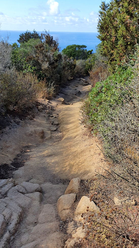
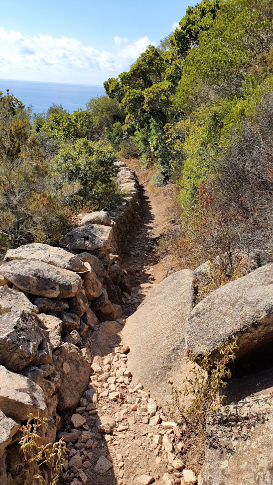
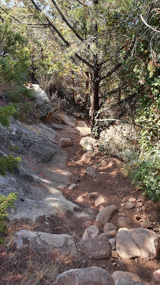
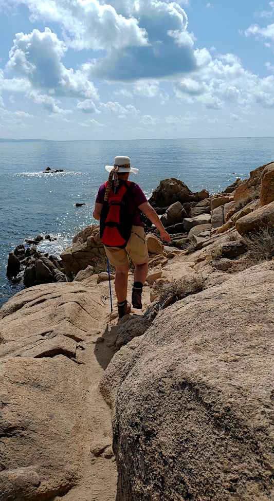
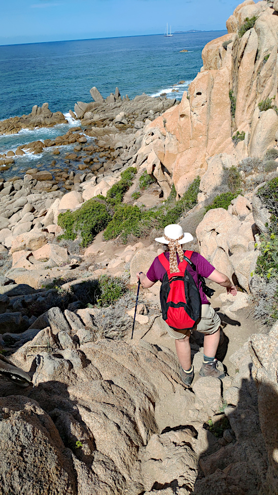
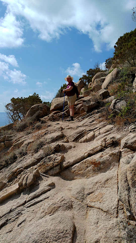
Difficulties: A rather steep up and down section and some scrambling especially at the point. Also consider the heat! Preferably start early to avoid the worst of the heat and bring plenty of water.
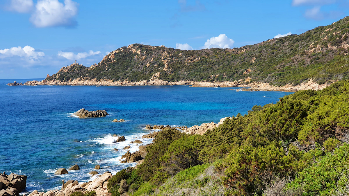
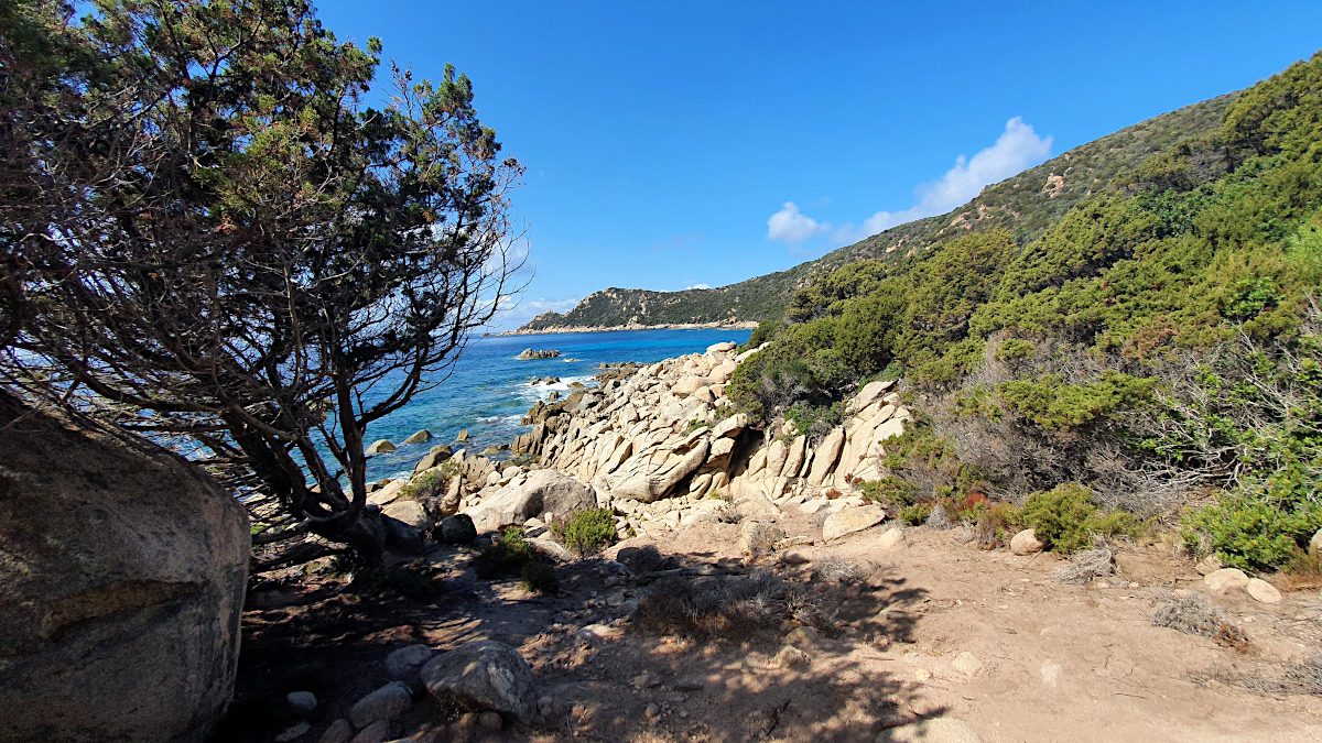
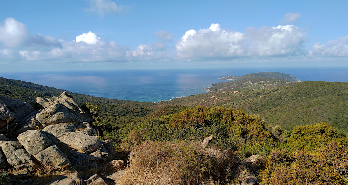
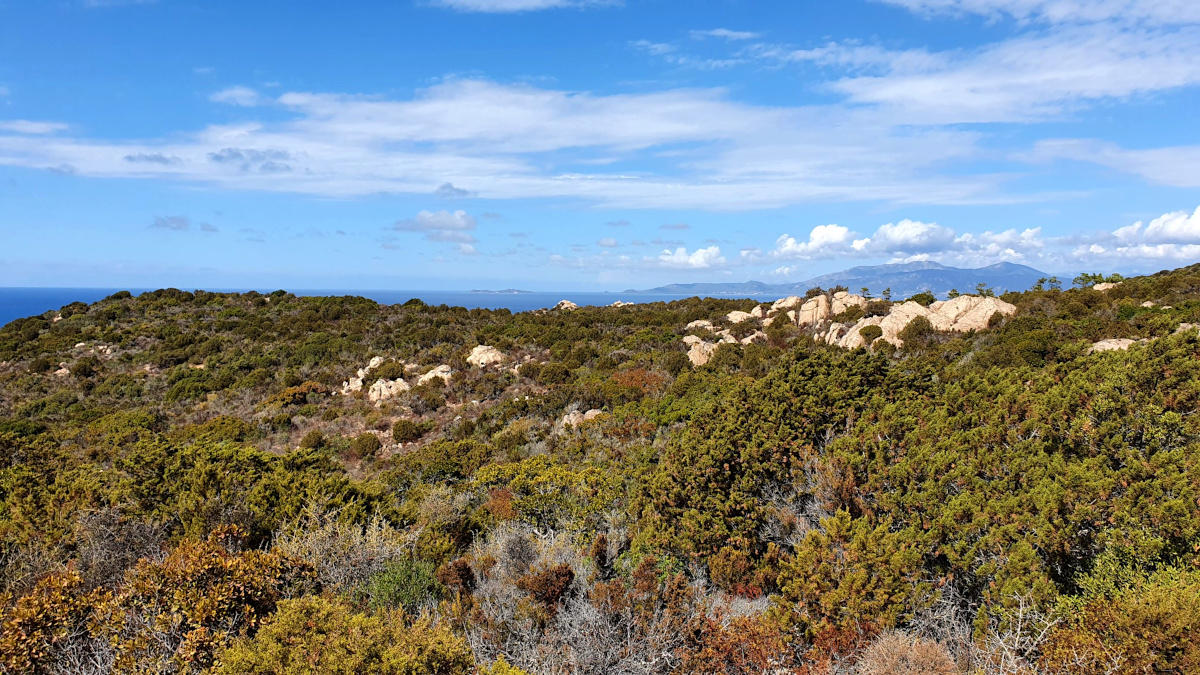
Taking a break for a snack with some gorgeous views over the coastline.
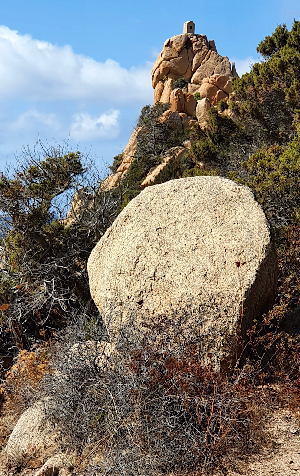
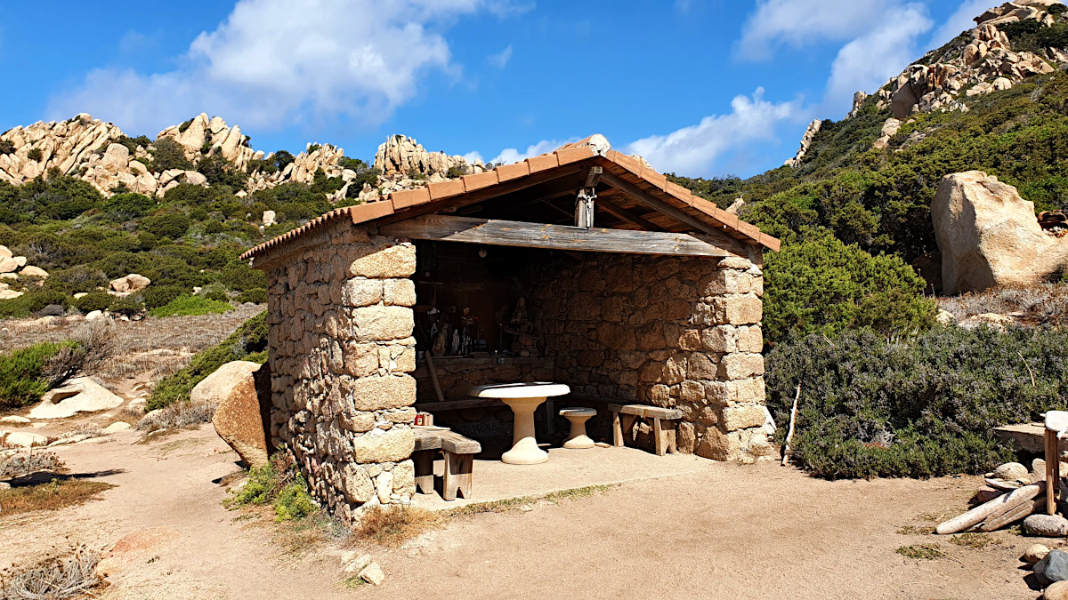
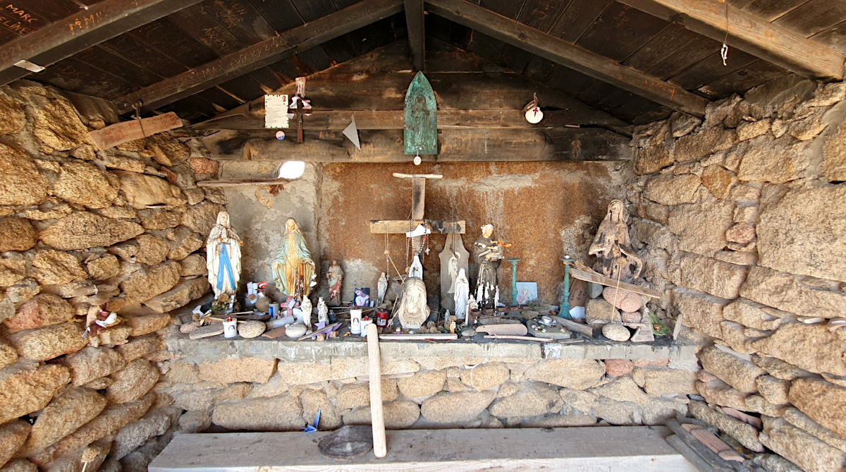
chapel of Madonuccia
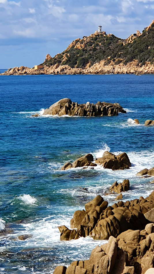
The Tafoni rock all around is fascinatingly jagged and eroded.
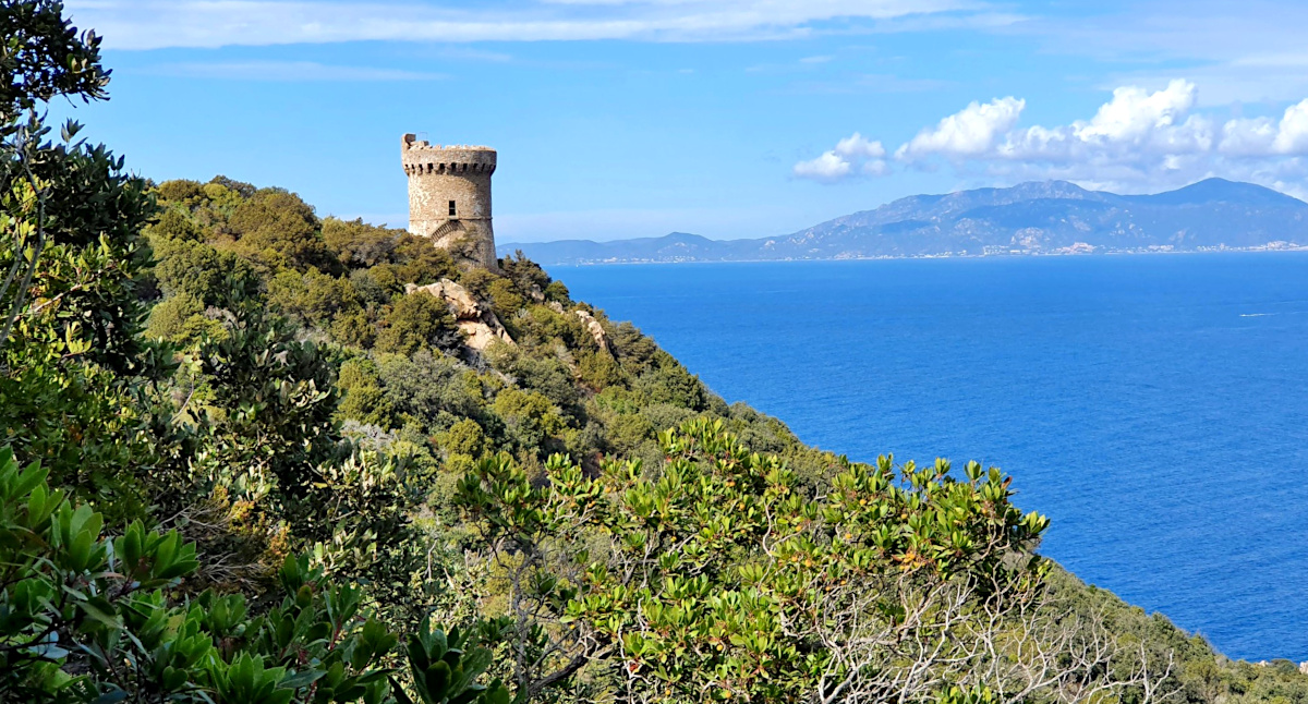
The tower was built in around 1600. It was one of a series of coastal defences constructed by the Republic of Genoa between 1530 and 1620 to stem the attacks by Barbary pirates.
torra di Capu di Muru
Simone & Åke, September 2021, Capo di Muro, Corsica, France

It would be great to hear from you!
You can reach me by sending me an Email.
Or leave a comment / reaction in the box below.
You can also follow me on Facebook: Sim1 around the World Blog
:-) Simone