| My pages about the area around Central part of Sweden |

Summer 2020, and our original travel plans for this year have totally disappeared due to the Covid19 epidemic. But slowly a new travel plan developed to a destination that has been on our wishlist for quite some time: a visit to The High Coast of Sweden. A beautiful stretch of coastal landscape about 7 hours drive to the north of where we live, with a beautiful national park called Skuleskogen, and a unique area declared a UNESCO heritage site.
After the last glaciation, the land has elevated a total of 800 metres. The land, previously weighed down under the weight of a glacier, lifts at rates that are among the highest in the world! And as a consequence islands appear and unite, peninsulas expand, and lakes evolve from bays and develop into marshes and peat fens. And walking around in the High Coast you can see a lot of evidence of this land rising, which makes hiking in this landscape fascinating.
All the photos in the collage below are clickable, so you can view the larger photo.
Hiking to the top of the Omneberget
High Coast, Sweden
Omneberget
Which way to go?
The day started with rain, but around 3 pm the sky slowly started to clear as was the forecast. So we hopped in the car and drove to Omneberget, about a 1/2 hour from where we were staying. And YESSSS, here we were greeted by the so desired for blue skies! :-)
xx

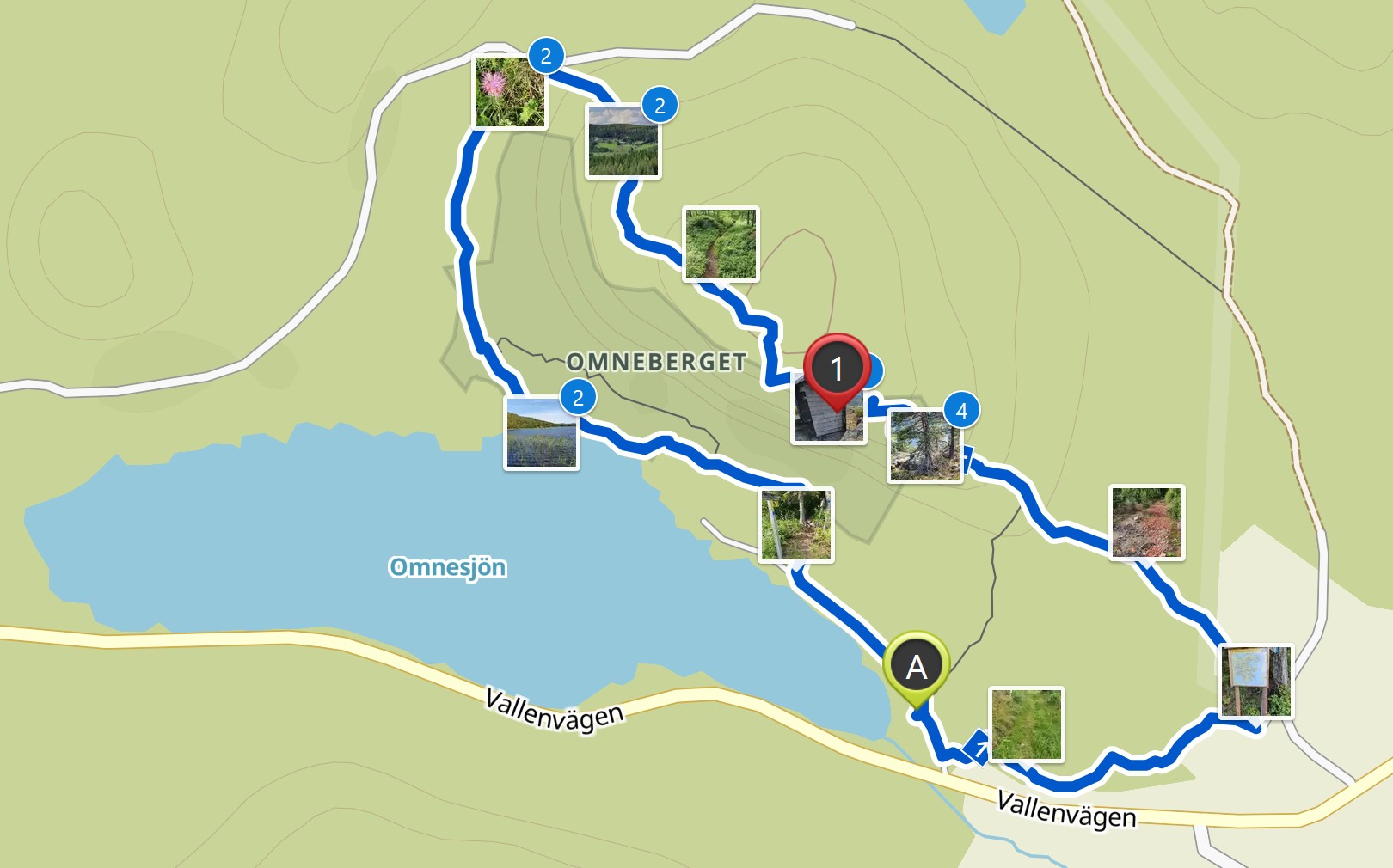
We have an app on our phone that records our walks, which is quite fun (the App is called Komoot). The map on the left side is our recorded walk.
If you want to do the exact same hike as we did, you can find the link here: https://www.komoot.com/tour/219993835
Starting point: Parking at the "Omnebadet", just outside the village of Omne
GPS starting point: N62.95085 E18.35016 (click to open coordinates on google maps)
Type: Round trip
length: 5,5 km
total height difference: 210 m
Highest point: 240 m, Lowest point: 50 m
Trail signs: blue markers on trees ans stones, well marked
Difficulties: Part of the trail in the beginning is steep. After rain last part of the trail can get muddy and slippery.
the easy route

the way up
The trail leads us slowly up and up. This is remember the "easy route" we choose, so no speedy gain in elevation :-). The photos above give you some idea of the "easy" part of the hike where we gain our first 100 metres in height. BUT after about 1,6 kilometres we meet the other trail, much shorter but far more difficult. And this is also where our steep climb start. In the next 600 metres we gain 80 metres in height.
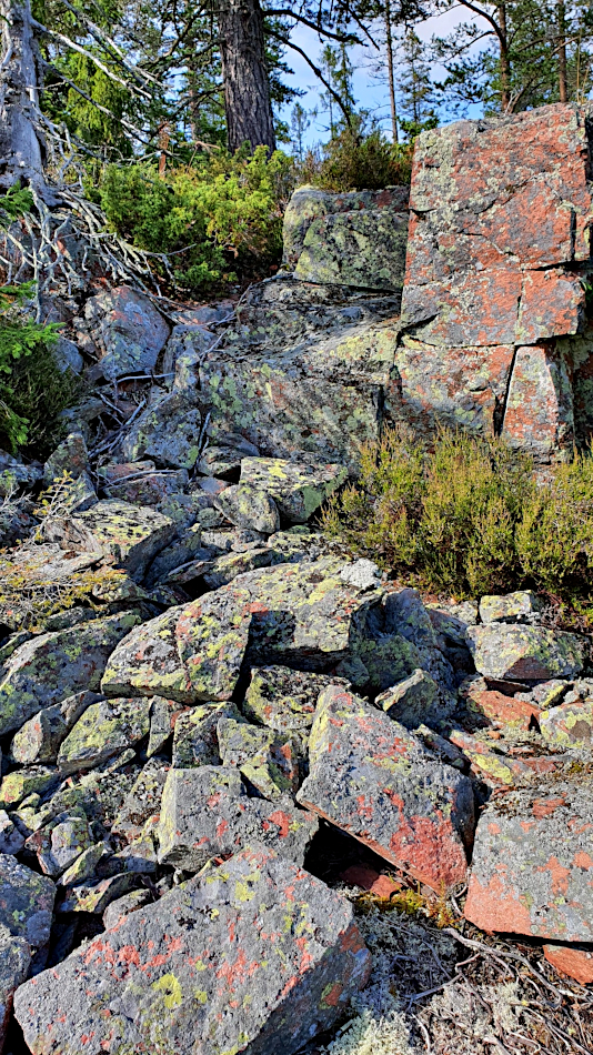
This might not sound that much, but the terrain is not that very friendly, see photo to the left. Loose rocks and big blocks are our friends for this part of the trail. And I am so glad that I have my hiking pole with me, giving me balance, and helping with the big steps up on this rocky surface. And literally gasping for air, I am nearing the top of this climb. Phew!
Simone & Åke, July 2020, Omneberget on the High Coast, Sweden

It would be great to hear from you!
You can reach me by sending me an Email.
Or leave a comment / reaction in the box below.
You can also follow me on Facebook: Sim1 around the World Blog
:-) Simone